DUE TO CIRCUMSTANCES BEYOND OUR CONTROL THE VISION GROUP FOR SIDMOUTH IS NO LONGER ABLE TO PROVIDE CONTENT FOR THIS WEBSITE AND SO IT HAS BEEN ARCHIVED.
No new content has been added since April 2026.
If you would like to volunteer to provide content and help with the website please contact The Vision Group for Sidmouth
ABOUT THE RIVER SID
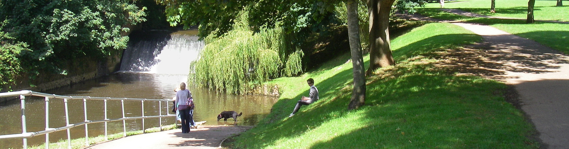
There’s a lot of excellent photography taken along the stretch of the Sid, with this from 2014:
About 2km in length, The Byes is made up of the many fields and meadows surrounding the River Sid, which is the smallest river in Devon at just over 6 miles long.
Sidmouth : The Byes & The River Sid © Lewis Clarke :: Geograph Britain and Ireland
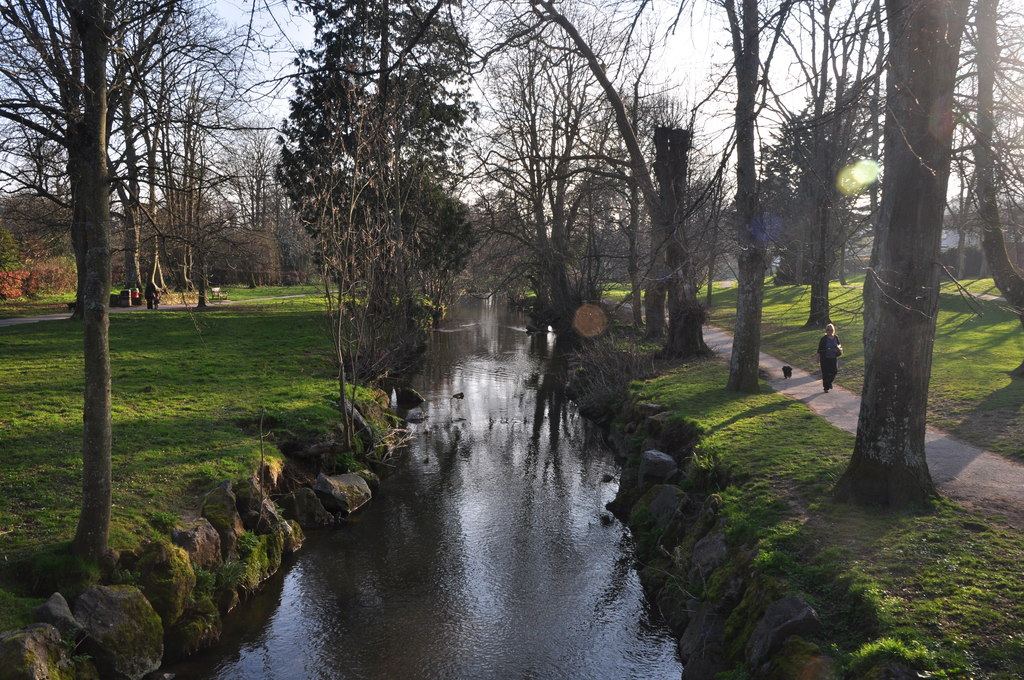
Here’s the introduction to the report from the Wild Trout Trust from April 2021:
The Sid drains a catchment of around 3900ha over its 16km length. Rising around Burnt Common to the East of Ottery St Mary, it flows south, through the village of Sidbury, to the town of Sidmouth where it discharges into the English Channel. The Sid has three main tributaries, the Roncombe Stream, the Snod Brook and the Woolbrook.
Artificial straightening above Sidmouth has disconnected the river with its flood plain and energised the channel. Historic milling and land creation are the primary reasons for such straightening. Though milling has ceased, the densely populated town of Sidmouth has spread onto the floodplains.
River Sid, Devon Advisory Visit | Wild Trout Trust
And here’s a description from the Living Rivers Report from 2013/14:
The Sid is a very compact river system with rich biodiversity and relatively few landholdings. This manageable size and the Sid Vale’s long history of enthusiastic community engagement combine to create a rare landscape-scale conservation opportunity: for local people to maximise the health and freshwater wildlife of an entire Devon river catchment, from source to sea.
With more here:
Sid Vale Association – River Sid
Plus a map of the catchment area, which almost replicates the civil parish of Sidmouth:
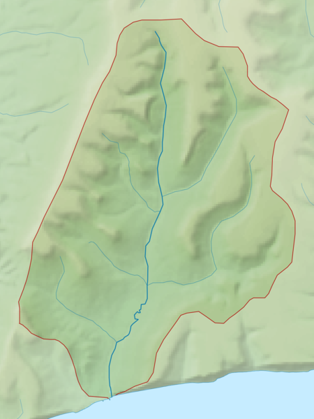
File:River Sid map.png – Wikimedia Commons
And more here from the SVBG: