A very good place to go for information about the topography of the Sid Valley is the excellent Sidmouth Nature website: A guide to the wildlife and wild places in the Sidmouth area of Devon | Sidmouth Nature
And, for example, the pages on The River Sid are particularly informative. Here’s the opening paragraph:
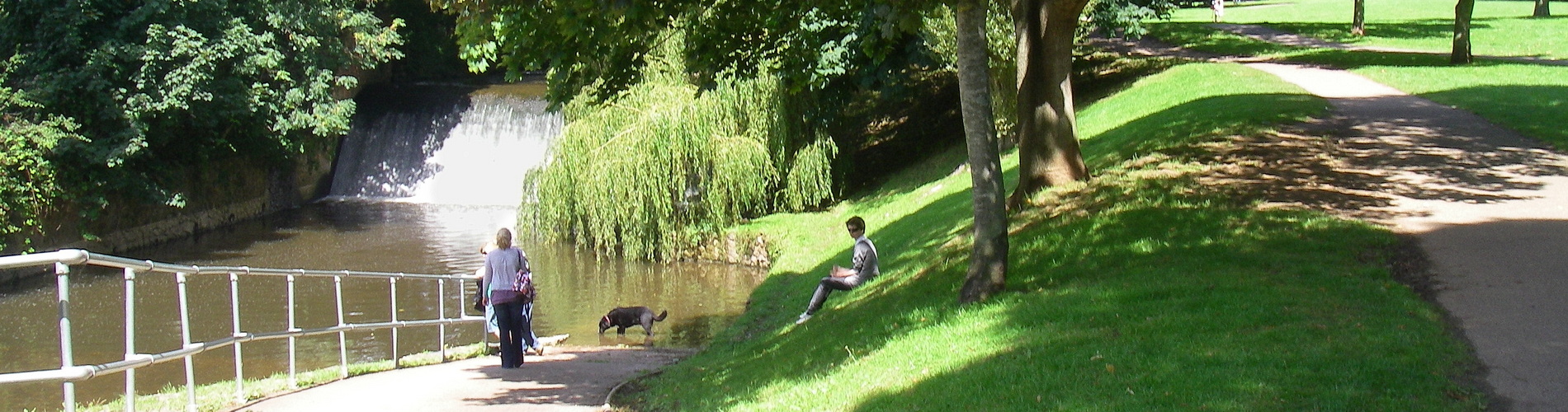
The River Sid is a small river in Devon, England, measuring just over six miles (10.5 km). It originates 206 metres above sea level at Crowpits Covert and flows south through the villages of Sidbury and Sidford before reaching Sidmouth. Its tributaries include the Snod Brook, Roncombe Stream, Wool Brook, and Snail Breck. The river’s catchment area is approximately 40 km². The valley is characterised by steep-sided Triassic mudstones and sandstones, resulting in soils varying from acidic to basic. The river has a relatively steep average gradient of 20m per Km, which contributes to its erosive power. It is described as having a “very flashy” catchment, meaning water levels can change rapidly in response to rainfall.
Another place to go, of course, is the Sid Valley Biodiversity Group, which set up some five years ago now several Sid Valley Water Quality Monitoring Points:
Tributaries monitored include Roncombe Stream, Lincombe Stream, Snod Brook, Burcombe Brook and Woolbrook… We spot monitor at sites where there may be problems e,g Fortescue Bridge, discharges into the Sid between Fortescue and Sidford, other locations on the Snod and the stream discharging at Weston Mouth.
Next week sees the start of the Sidmouth Walking Festival with several of the scheduled walks including parts of the River Sid, such as those focusing on habitat and weirs.
There is also the Sid Valley Ring Walk from the SVA which takes us past the River and its tributaries, including the Snod.
This walk from All Trails is a Sidbury and Sidford Circular:
Starting from Sidbury, the route heads to White Cross and Beacon Hill. It continues through beautiful farmland to the small village of Sidford, following the stretch along Snod Brook and ascends to hilly woodland before circling back to the starting point.
The Snod weaves its way above and through the hamlet of Harcombe.
…

This photo taken from Google maps shows where the road has been impinged upon by the stream, which can be quite a force when in spate. A decade ago, after severe flooding of Boswell Farm, the course had to be changed so it ran away from the road and from the farm buildings.
The banks of the stream were also strengthened, and last month further ‘natural’ protection from erosion was put in place with living willow rods – at exactly the spot photographed.
Meanwhile, whilst there is the issue of Himalayan Balsam along the Sid and its tributaries, including the Snod, there has been the good news of spotting trout along the Snod.
So, an interesting part of the River Sid catchment – which is being looked after and cherished.
…