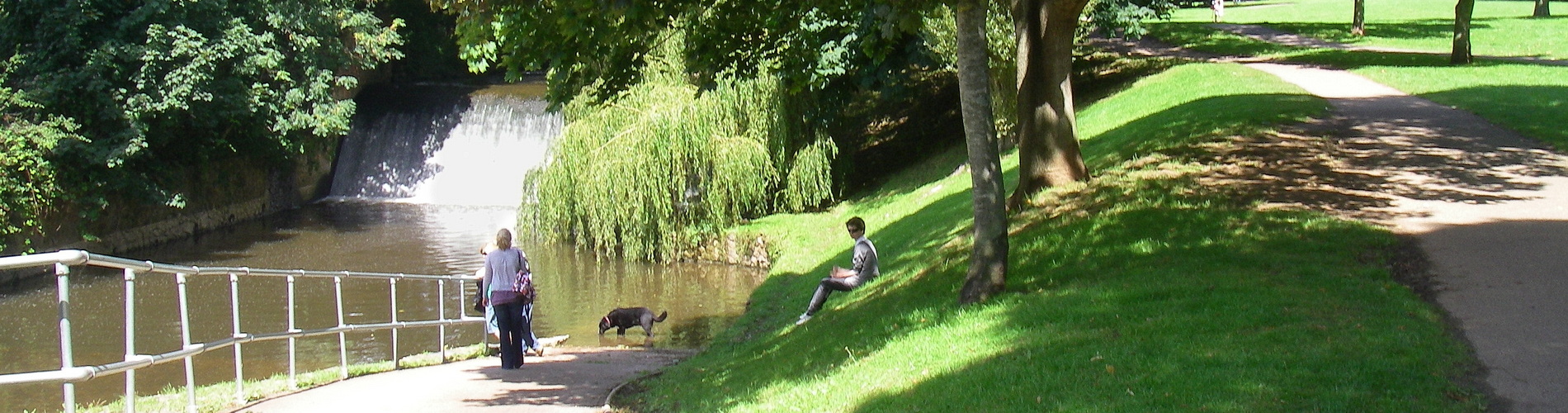
The bottom half of the River Sid is very accessible for walkers:
A Walk along the Sid Valley – Explore Devon
And walking through the Byes is particularly accessible:
A Wheel Friendly Walk along the River Sid, Sidmouth Devon – The Outdoor Guide
The Byes riverside buggy walk/cycle path to Sidmouth beach (via the playground and Mocha Café)
And it’s flat!
The Byes Riverside Park Sidmouth – Wild Walking Devon
Going the other way, from Sidbury to the source of the Sid is less straightforward – in that walkers will have to head up the main road to Honiton, forking off to head to the Sid Valley Country Hotel and Plyford Farm, before rejoining the main road to the Hare and Hounds.
As described by the SVA’s dedicated page:
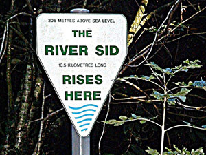
The River Sid is one of Devon’s smallest and most compact rivers, being only some 10km (6 miles) in length. It rises in Crowpits Covert (OS grid reference SY 138963), on the Ottery St Mary side of the Hare and Hounds, at a height of 190m (620ft) above sea level. The river has a rich biodiversity and serves a predominantly rural catchment before it flows through the village of Sidbury, and then crosses under A3052 at Packhorse Bridge in Sidford. The river is joined by the Roncombe stream in Sidbury, the Snod brook in Sidford and the Woolbrook in Sidmouth before out falling to the sea at The Ham.